






Gianh Bridge: The Connection Between Heritage And The Future Of Quang Tri Province
Gianh Bridge: The Bridge Connecting Heritage and the Future of New Quang Tri Province
Stretching across the legendary Linh Giang River, Gianh Bridge is not only the lifeline of National Highway 1A but also a resilient symbol of a "fire line" region. In the new context of 2026, when Quang Binh and Quang Tri have come together under the name New Quang Tri, Gianh Bridge holds even more sacred significance: a bridge connecting the glorious historical memories and the aspirations of a vast province.
1. Connection Coordinates: From the "cut" of history to the "dragon's knot"
- Gianh Bridge spans the Gianh River at Km 625+500, linking Quang Thuan Ward (Ba Don Town) and Ha Trach Commune (Bo Trach District).
- The legendary river: Originating from the peak of Co Pi in the majestic Truong Son range, Gianh River is 160km long, flowing through fertile lands before emptying into the East Sea.
- The infrastructure revolution: Before 1998, Gianh Ferry was a "bottleneck" that made drivers hesitant, but the appearance of the old Gianh Bridge and especially the new Gianh Bridge (opened to traffic in early 2026) with 4 modern lanes has removed all barriers, opening wide the door to economic development for the entire New Quang Tri province.
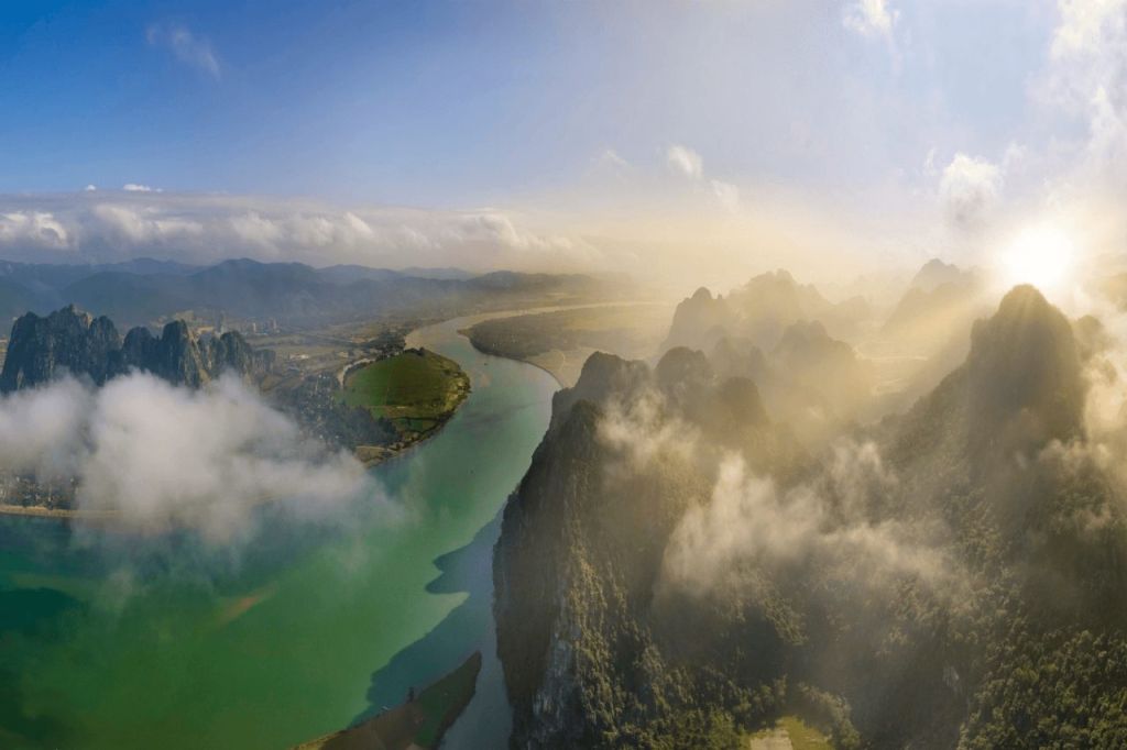
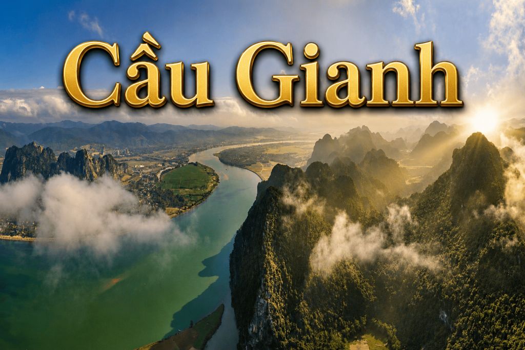
Photo Aerial view along the Gianh River
2. Linh Giang River: The first "16th parallel" of the nation
- The history of Gianh Bridge is intertwined with the ups and downs of the Gianh River – a river that was once a painful dividing line.
- Trinh - Nguyen conflict: For over 200 years (1672–1774), this was the boundary between the South and the North. Poet Pham Ngoc Canh once likened this place to a "cut" on the body of the nation.
- Coordinates of fire against America: The old Gianh ferry was a bomb pocket of the enemy with a density of 1.1 tons of bombs/m². The legends of "camouflaged fake ferries" or the martyr soldiers who destroyed mines have written a golden page in the history of this national historical site.
- Symbol of renewal: The old Gianh Bridge (1998) was the first pre-stressed concrete structure in Vietnam, a testament to the will to rebuild the country after the war.
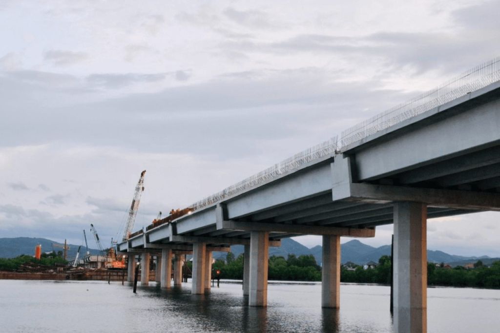
Photo Considered the longest bridge on the road route
3. The poetic beauty of the "Emerald" of Central Vietnam
- Besides its historical value, Gianh Bridge is also a stunning viewpoint of the new North Quang Tri region.
- The landscape painting: From the height of the new bridge, visitors can gaze over the nearly 1km wide river downstream. The calm water is like a silk ribbon in the dry season, reflecting the brilliant sunrise or the deep purple hues of sunset.
- The harmony: To the West is the hazy Truong Son range, to the East is the vast sea entrance with sand dunes and small islands, creating a diverse and peaceful ecosystem.
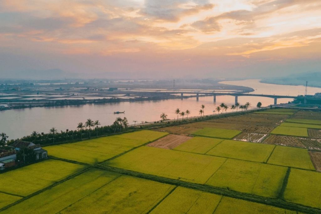
Photo Rice field at Gianh Bridge
4. Exploration guide to Gianh Bridge in 2026
- Golden time: From March to August. This is when the sky is blue, and the water is clear, very favorable for check-ins on the new bridge or taking a boat to enjoy the scenery.
- Strolling on the new bridge: Admiring the modernity of the key traffic project of 2026.
- Visiting the historical site of Gianh Ferry: About 5km from the bridge to reflect on the sacrifices of the heroic martyrs.
- Waterway cuisine: Don't forget to enjoy grilled Gianh river fish, pancake, and porridge specialties from the Ba Don - Bo Trach region.
- Connecting route: Gianh Bridge is an ideal transit point for you to continue your journey to Phong Nha - Ke Bang National Park or head north to Ngang Pass and Vung Chua - Yen Island.
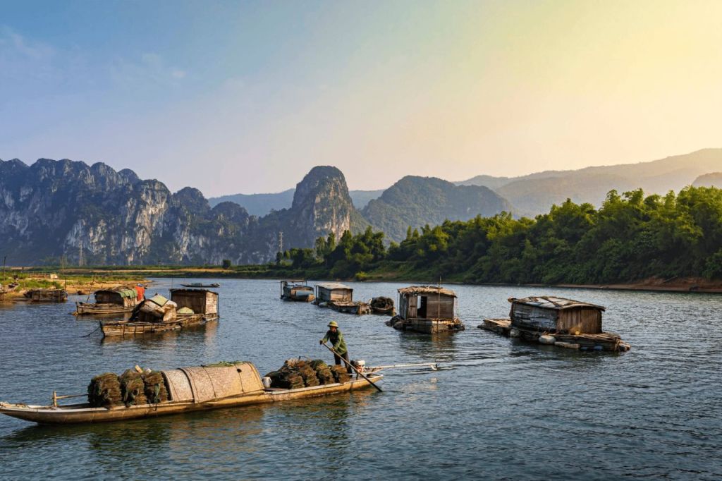
Photo Majestic mountain ranges beside the winding river
Today, Gianh Bridge not only connects the two banks of the river but also unites the hearts of the children of Quang Binh – Quang Tri in a common home. Standing on the breezy new bridge in 2026, we feel even prouder of the vibrant life of this land.
----------
Source: sovaba.travel
Bình Luận:
0